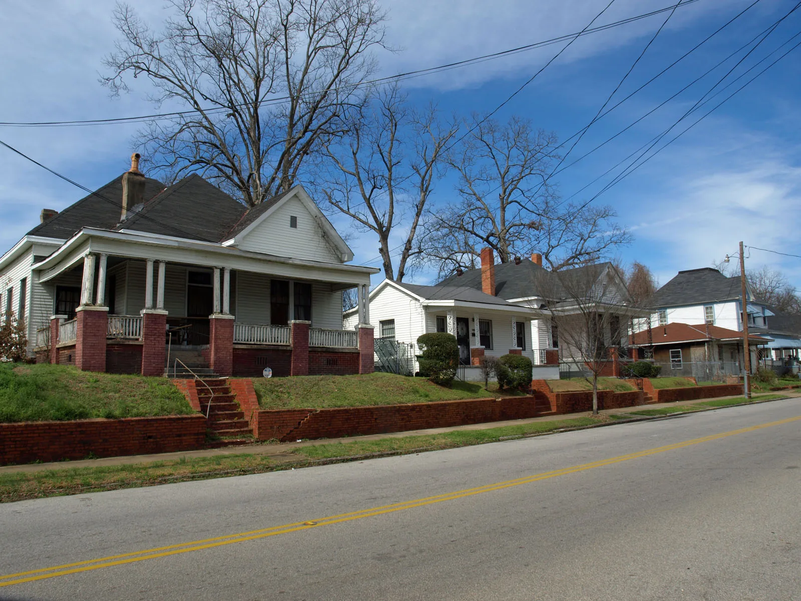
Centennial Hill, east of downtown between Adams Avenue and Alabama State University, is in ZIP code 36104 and zoned for Highland Avenue Elementary.
Last checked Oct. 17, 2026. Sources: the City of Montgomery’s Centennial Hill Neighborhood Plan (PDF) and Oak Park and Centennial Hill plan (PDF), its Neighborhood Services map layer and ZIP code layer, the city’s parks directory, the Montgomery Public Schools school zone search, the state’s report card, Zillow Research, The M and OpenStreetMap.
Centennial Hill is the neighborhood between downtown and Alabama State University. The city’s Centennial Hill Neighborhood Plan, adopted by the Planning Commission in June 2008, places it “a half mile from City Hall and just a few blocks from the State Capitol building.” OpenStreetMap maps the Centennial Hill Historic District on the same streets.
What this means for you
- Zoned high school: Percy Julian High at every point we checked.
- Home value: $57,872 in ZIP 36104 in September 2026, according to the Zillow Home Value Index.
- Nearest interstate exit: I-85 Exit 2 (Forest Avenue and Mulberry Street), less than half a mile away in a straight line.
Part of our Montgomery neighborhoods guide.
Where it is
The 2008 plan bounds the planning area by Adams Avenue on the north, Carter Hill Road on the south, Decatur Street on the west and Forest Avenue on the east. It says Interstate 85 crosses the southern third, “separating the primary residential area from the Alabama State campus which lies along the southern boundary,” and counts 430 acres with 612 residential structures.
The residential part north of the interstate is the area the city’s Neighborhood Services map assigns to the Centennial Hill Neighborhood Association, the area this page covers. Highland Avenue runs through it; South Union Street, High Street and South Ripley Street run along or near its edges. South Jackson Street is in the historic district. All of it is in ZIP code 36104.
A second city plan, for Oak Park and Centennial Hill, covers both neighborhoods, which it places east of downtown.
The city’s historic district brochure says owners of historically designated property need a Certificate of Appropriateness before exterior changes. The Land Use Division, 334-625-2722, can say whether an address is designated.
Schools
We checked 25 points across the neighborhood association’s area in the district’s school zone search on Oct. 17. All returned the same three schools. Grades are from the state’s 2024-25 report card.
| Level | Zoned school | 2024-25 grade |
|---|---|---|
| High | Percy Julian High, 225 Ann St. | F (56) |
| Middle | Capitol Heights Middle, 116 Federal Drive | F (56) |
| Elementary | Highland Avenue Elementary, 2024 Highland Ave. | D (69) |
Montgomery Public Schools as a whole earned a C (75). Confirm an exact address in the zone search or at 334-223-6700. More in our schools guide.
Home values
The typical home value in ZIP 36104 was $57,872 in September 2026, down 6.6% from $61,946 in September 2025, according to the Zillow Home Value Index. The index is a modeled typical value for the middle third of homes, not a sale price, and ZIP 36104 also covers downtown, the Garden District and neighborhoods to the west. The citywide figure was $149,943, up 1.7%. More in our home prices guide.
Parks and trails
From the city’s parks directory:
- Tuscaloosa Park, 731 Genetta Ct., just west of the neighborhood
- Oak Park, 1010 Forest Ave., a few blocks east, home of the city’s Montgomery Botanical Gardens and the Parks and Recreation main office
More in our parks and trails guide.
Getting around
- Interstates: the nearest exits are I-85 Exit 2 (Forest Avenue and Mulberry Street), Exit 1 (Court Street and Union Street) and Exit 3 (Ann Street), by OpenStreetMap’s ramp signs.
- City Hall, 103 N. Perry St., is about 1.3 miles from the middle of the area by road.
- Montgomery Regional Airport is about 13 miles by road. Both are road distances measured on the OpenStreetMap network with the OSRM routing engine, not drive times.
- Buses: Route 5 McGhee Road of The M runs through the neighborhood from the Intermodal Transfer Center toward Jackson Hospital and Carter Hill Road.
More in our getting around guide.
Neighborhood association
The city’s neighborhood directory lists the Centennial Hill Neighborhood Association for this area. Neighborhood Services is at 334-625-3422.
Groceries and everyday stores
OpenStreetMap maps no supermarket or pharmacy inside the neighborhood. The nearest it shows:
- City Drug, Dexter Avenue, about a mile west
- Aldi, 1740 Carter Hill Road, about a mile south
- Juliette Hampton Morgan Memorial Library, the main public library, 245 High St., a few blocks west
How we drew this area
The edges are the Centennial Hill Neighborhood Association area in the city’s Neighborhood Services map layer, inside the larger planning area of the 2008 neighborhood plan. ZIP shares come from the city’s ZIP code layer and school zones from 25 points inside the edges. Store, exit and bus route data are © OpenStreetMap contributors.
Frequently asked questions
Where is Centennial Hill in Montgomery?
East of downtown. The city’s 2008 neighborhood plan bounds it by Adams Avenue on the north, Carter Hill Road on the south, Decatur Street on the west and Forest Avenue on the east, with Interstate 85 crossing its southern third.
What schools is Centennial Hill zoned for?
Highland Avenue Elementary, Capitol Heights Middle and Percy Julian High, at all 25 points we checked in the Montgomery Public Schools zone search on Oct. 17, 2026.
What ZIP code is Centennial Hill in?
ZIP code 36104. Zillow’s typical home value for the ZIP code was $57,872 in September 2026, a modeled value for the whole ZIP code, not a sale price.
How far is Centennial Hill from the Capitol?
The city’s plan says the neighborhood is a half mile from City Hall and a few blocks from the State Capitol.
Have your say