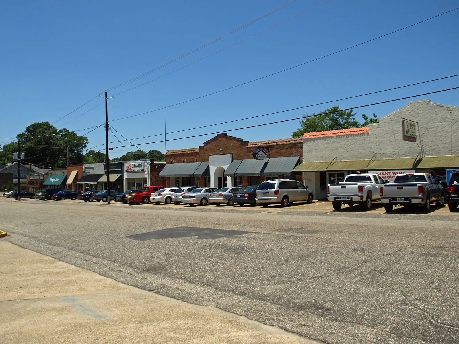
Old Cloverdale, an early 1900s streetcar suburb south of downtown, is in ZIP 36106, where Zillow's typical home value was $194,192 in September 2026.
Last checked Oct. 17, 2026. Sources: the City of Montgomery’s Neighborhood Services map layer and ZIP code layer, the Envision Montgomery 2040 comprehensive plan (PDF), the city’s historic district brochure (PDF) and parks directory, the Montgomery Public Schools school zone search, the state’s report card, Zillow Research, The M and OpenStreetMap.
Old Cloverdale is the neighborhood of early 20th-century houses and the small Cloverdale Road shopping strip southeast of the Garden District. The city’s Envision Montgomery 2040 plan calls Cloverdale one of the “streetcar suburbs” that “took advantage of the trolley lines to plat, develop and sell new homes on the fringes of the city,” and lists it, with the Garden District, among “Montgomery’s oldest neighborhoods.”
What this means for you
- Zoned high school: Carver High at every point we checked.
- Home value: $194,192 in ZIP 36106 in September 2026, according to the Zillow Home Value Index.
- Nearest interstate exit: I-85 Exit 2 (Forest Avenue and Mulberry Street), about three-quarters of a mile north in a straight line.
Part of our Montgomery neighborhoods guide.
Where it is
On this page Old Cloverdale is the area the city’s Neighborhood Services map assigns to the Old Cloverdale Association. East Fairview Avenue, Norman Bridge Road and Carter Hill Road run along or near its edges, by OpenStreetMap, which also maps the Cloverdale Historic District here. Cloverdale Road, Felder Avenue, Park Avenue and Graham Lane are among the streets in the historic district. All of it is in ZIP code 36106.
South of it, the city’s directory lists a separate Cloverdale Idlewild Neighborhood Association.
The city’s historic district brochure says owners of historically designated property need a Certificate of Appropriateness from the Architectural Review Board before exterior changes, new buildings, demolition or tree removal. The Land Use Division, 334-625-2722, can say whether an address is designated.
Schools
We checked 25 points across the neighborhood in the district’s school zone search on Oct. 17. All returned the same three schools. Grades are from the state’s 2024-25 report card.
| Level | Zoned school | 2024-25 grade |
|---|---|---|
| High | Carver High, 2001 W. Fairview Ave. | D (61) |
| Middle | Bellingrath Middle, 3350 S. Court St. | F (52) |
| Elementary | Nixon Elementary, 1000 Edgar D. Nixon Ave. | C (70) |
Montgomery Public Schools as a whole earned a C (75). Confirm an exact address in the zone search or at 334-223-6700. More in our schools guide.
Home values
The typical home value in ZIP 36106 was $194,192 in September 2026, up 2.1% from $190,145 in September 2025, according to the Zillow Home Value Index. The index is a modeled typical value for the middle third of homes, not a sale price, and ZIP 36106 also covers neighborhoods to the east. The citywide figure was $149,943, up 1.7%. More in our home prices guide.
Parks and trails
From the city’s parks directory:
- Cloverdale Park, 2415 W. Cloverdale Park, a green with a gazebo and open space, inside the neighborhood
- Mary Ann Neeley Park, 2220 College St., inside the neighborhood
- LeGrande Park, 528 E. Fairview Ave., on the northwest edge
- Cloverdale Road Park, 3124 Cloverdale Rd., a median park with a playground and trail, and Audubon park, 3174 Cloverdale Rd., with ball fields, both a few blocks south
- Country Club Drive Park, 2227 Country Club Drive, with a basketball court and playground
More in our parks and trails guide.
Getting around
- Interstates: the nearest exits are I-85 Exit 2 (Forest Avenue and Mulberry Street), Exit 3 (Ann Street) and Exit 1 (Court Street and Union Street), by OpenStreetMap’s ramp signs.
- City Hall, 103 N. Perry St., is about 2.4 miles from the middle of the area by road.
- Montgomery Regional Airport is about 12 miles by road. Both are road distances measured on the OpenStreetMap network with the OSRM routing engine, not drive times.
- Buses: three routes of The M run through or along the neighborhood: 3 Montgomery Commons, 5 McGhee Road and 16 East-West Connector.
More in our getting around guide.
Neighborhood association
The city’s neighborhood directory lists the Old Cloverdale Association for this area. Neighborhood Services is at 334-625-3422.
Groceries and everyday stores
From OpenStreetMap:
- Aldi, 1740 Carter Hill Road, at the neighborhood’s edge
- CVS Pharmacy, West Fairview Avenue, about 1.5 miles west
Restaurants, the Cloverdale Playhouse and shops on Cloverdale Road are in our date night and live music and nightlife guides.
How we drew this area
The edges are the Old Cloverdale Association area in the city’s Neighborhood Services map layer. ZIP shares come from the city’s ZIP code layer and school zones from 25 points inside the edges. Store, exit and bus route data are © OpenStreetMap contributors.
Frequently asked questions
What ZIP code is Old Cloverdale in?
ZIP code 36106, for the whole of the Old Cloverdale Association area on the city’s map. Zillow’s typical home value there was $194,192 in September 2026, up 2.1% in a year.
What schools is Old Cloverdale zoned for?
Nixon Elementary, Bellingrath Middle and Carver High, at all 25 points we checked in the Montgomery Public Schools zone search on Oct. 17, 2026.
What parks are in Old Cloverdale?
The city lists Cloverdale Park at 2415 W. Cloverdale Park and Mary Ann Neeley Park at 2220 College St. inside the neighborhood, with LeGrande Park on its edge at 528 E. Fairview Ave.
Is Old Cloverdale a good place to live?
Old Cloverdale is an early 20th-century streetcar suburb in ZIP 36106, zoned for Carver High (a D, 61, on the state’s 2024-25 report card), with two city parks inside it, and the typical home value in the ZIP code was $194,192 in September 2026, according to Zillow.
Have your say